Touristenrouten in Misiones
Autorouten durch Misiones: Jesuit Circuit, Falls and Rainforest, Moconá Falls und Immigrants Route. Karte, Stopps, Entfernungen und Unterkünfte.
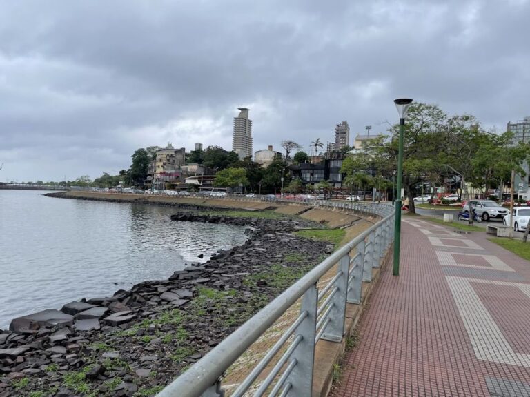 ⛪Jesuit Circuit1 to 2 days · 99 km · 6 StoppsAlong National Route 12 from Posadas: the Santa Ana Cross, the ruins of Santa Ana, Loreto and San Ignacio Miní (World Heritage) and the…
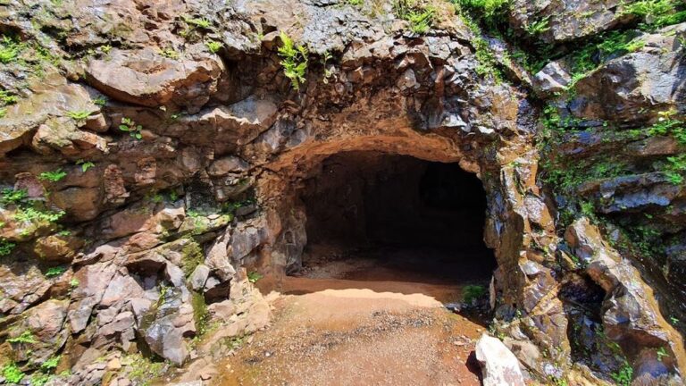 💦Falls and Rainforest2 to 3 days · 79 km · 3 StoppsThe north of the province: the Wanda mines, the Triple Frontier landmark and a full day at Iguazú National Park. Campsites and resorts in…
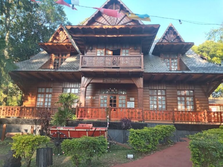 🌊Moconá Falls2 to 3 days · 231 km · 4 StoppsCentral hills and Alto Uruguay: Oberá, Salto Encantado and the Uruguay river road to El Soberbio and the Moconá Falls (water levels vary: check…
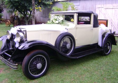 🏛️Immigrants Route1 to 2 days · 163 km · 13 StoppsMany origins, one road: museums, tea farms, flavours and temples of the communities that settled central Misiones, from Leandro N. Alem to Oberá, Campo…
Häufige Fragen
Welche sind die wichtigsten Straßen für eine Rundreise durch Misiones?
Die RN 12 von Posadas nach Puerto Iguazú entlang des Paraná (Jesuitenruinen, Wasserfälle); die RN 14 durch das Zentrum der Provinz bis Bernardo de Irigoyen (Oberá, Aristóbulo del Valle); die RP 2 entlang des Río Uruguay (Panambí, El Soberbio und die Moconá-Fälle); und die RP 7 durch den zentralen Urwald. Alle sind asphaltiert; der Tageszustand steht unter „Straßenzustand“.
Welche Ausflüge kann man in Misiones machen?
Die Iguazú-Fälle (ein ganzer Tag), die Moconá-Fälle per Boot ab El Soberbio, die Jesuitenruinen von San Ignacio, Santa Ana und Loreto, der Salto Encantado, die Minen von Wanda, die Yerba-Mate-Route und die Einwandererroute in Oberá sowie Dschungelpfade in Teyú Cuaré und Urugua-í. Jede Route dieses Führers nennt Stationen, Kilometer und Unterkünfte.